Sharing a blog by Digital Democracy published in May.
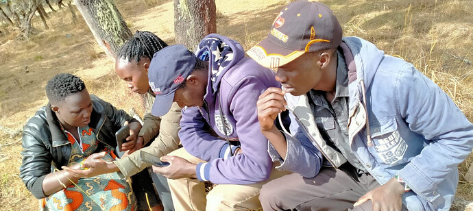
One powerful tool for increasing the ability of communities to advocate and communicate their views with external parties is mapping. Throughout our history supporting Indigenous peoples in the Amazon, the team at Digital Democracy has seen that participatory mapping can be one of the most effective ways for communities to advocate for their rights. We co-created the software Mapeo with our Indigenous partners to enable them to map their territories and collect evidence about degradation or environmental abuses, while retaining full control over the data and able to conduct this work entirely offline. Hence, when the CIPDP and our partners Forest Peoples Programme (FPP) approached us about helping the Ogiek shift the local power dynamics by using Mapeo to map and monitor their ancestral lands, we were eager to be involved, and also learn how we can best adapt Mapeo to the use case of an Indigenous community in another continent.
Check it out: Digital Democracy: Mapping Ogiek ancestral lands in Kenya using Mapeo, during a pandemic

